Volcano profile

Japan

Chokaisan.

Volcano profile for Chokaisan in Japan, including its current status, catalog data, nearby earthquakes and live map layers.

Current status
No current eruption report
Volcano type
Stratovolcano
Elevation
2,236 m
Last documented eruption
1974
Explosivity (VEI)
VEI 3 highest recorded · latest VEI 1 · More about the VEI
Coordinates
39.0994°, 140.0489°
GVP number
283220

Live map

Live map around Chokaisan

Satellites & ash clouds

Map options

Airports and nuclear plants provide geographic context. Being in or near an area does not establish closure, damage or a specific hazard.

Loading …

50 km · Live ADS-B
Loading live aircraft …
No current eruption report

Japan

Chokaisan

Stratovolcano

Elevation
2,236 m
Last documented eruption
1974
No current eruption report

No current report does not mean extinct or safe. Source coverage varies between volcanoes.

Geography & tectonics
Coordinates
39.0994°, 140.0489°
Volcanic region (GVP)
Northeast Japan Volcanic Arc
Tectonic setting
Subduction zone / Continental crust (> 25 km)
GVP
283220
Documented eruptions · Nearby earthquakes ↓

Source: Smithsonian Global Volcanism Program
This display is not an official warning. Follow information from the responsible authorities when making local decisions.

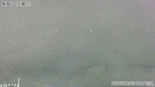
Live cameras

Chokaisan · Live cameras

Recent images from official volcano observatories.

Profile

Chokaisan · Japan

Documented eruptions

All catalogued eruptions, newest first. Historical records are incomplete; missing values are unknown. VEI describes eruption explosivity.

StartEndVEIReport status
1 Mar 197430 Apr 19741Confirmed eruption
9 Jul 183416 Jul 18342?Confirmed eruption
23 May 1821Not available2?Confirmed eruption
16 Dec 180016 Jul 18042Confirmed eruption
1764Not available2Uncertain eruption
Jun 1740Uncertain dating17472?Confirmed eruption
31 Dec 1738Not available2Uncertain eruption
1735Not available2Uncertain eruption
Apr 1659Uncertain dating1663—Confirmed eruption
1560Not available—Uncertain eruption
1477Not available—Uncertain eruption
999Not available—Uncertain eruption
31 Dec 948Not available—Uncertain eruption
15 May 939Not available—Confirmed eruption
26 Jul 884Aug 884—Uncertain eruption
5 May 871Not available2Confirmed eruption
May 861Not available3Uncertain eruption
May 857Not available—Uncertain eruption
856Not available—Uncertain eruption
14 Oct 839Not available—Uncertain eruption
Jan 830Not available—Confirmed eruption
817Uncertain datingNot available—Confirmed eruption
804806—Uncertain eruption
Jul 717Not available—Uncertain eruption
711Uncertain datingNot available—Confirmed eruption
610Uncertain datingNot available—Uncertain eruption
1 Dec 57715 Jul 578—Uncertain eruption
Mar 573Not available—Uncertain eruption
450 BCEUncertain datingNot available—Confirmed eruption
650 BCEUncertain datingNot available—Confirmed eruption
1050 BCEUncertain datingNot available0Confirmed eruption

Source: Smithsonian GVP · Dataset date: 2026-11-13

Nearby earthquakes

Last 7 days · 100 km · up to 10 events. Proximity does not establish a volcanic cause.

Nearby earthquakes ↗

QuakeMap24

Volcano at a glance

Map view with the current report status and volcano elevation.

Chokaisan · No current eruption report · 2,236 m

Radius · 100 km

Nearby infrastructure

Up to 3 nearest sites per category

Airports

  • Shonai AirportJapan · SYO · RJSY
    39.1 kmStraight-line distance
  • Akita AirportJapan · AXT · RJSK
    59.2 kmStraight-line distance
  • Yamagata AirportJapan · GAJ · RJSC
    81.4 kmStraight-line distance

Source: OurAirports · Dataset date: 2026-11-13

This selection shows geographic proximity, not a hazard zone or confirmed impacts. Distances use recorded site coordinates. Sources & data dates

Nearby places

NikahoJapan · 21.3 km

SakataJapan · 26.3 km

ShonaiJapan · 30.6 km

Source: GeoNames · Radius: 50 km · Straight-line distance

QuakeMap24

Sources & data dates

Core data comes from the Smithsonian Global Volcanism Program and USGS. Map layers and live aircraft are loaded from the sources identified on the page.

This display is not an official warning. Follow information from the responsible authorities when making local decisions.

VAAC / NOAA NWS

Satellite layers · Last successful retrieval: Nov 13, 2026, 12:23 PM UTC