Volcano profile

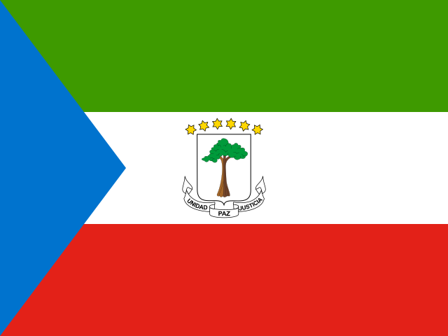
Equatorial Guinea

Basile, Pico.

Volcano profile for Basile, Pico in Equatorial Guinea, including its current status, catalog data, nearby earthquakes and live map layers.

Current status
No current eruption report
Volcano type
Shield volcano
Elevation
2,999 m
Last documented eruption
1923
Coordinates
3.588°, 8.762°
GVP number
224004

Live map

Live map around Basile, Pico

Satellites & ash clouds

Map options

Airports and nuclear plants provide geographic context. Being in or near an area does not establish closure, damage or a specific hazard.

Loading …

50 km · Live ADS-B
Loading live aircraft …
No current eruption report

Equatorial Guinea

Basile, Pico

Shield volcano

Elevation
2,999 m
Last documented eruption
1923
No current eruption report

No current report does not mean extinct or safe. Source coverage varies between volcanoes.

Geography & tectonics
Coordinates
3.588°, 8.762°
Volcanic region (GVP)
Western Africa Volcanic Province
Tectonic setting
Intraplate / Continental crust (> 25 km)
GVP
224004
Documented eruptions · Nearby earthquakes ↓

Source: Smithsonian Global Volcanism Program

This display is not an official warning. Follow information from the responsible authorities when making local decisions.

Profile

Basile, Pico · Equatorial Guinea

Documented eruptions

Latest catalogue records. Historical records are incomplete; missing values are unknown. VEI describes eruption explosivity.

StartEndVEIReport status
2 Jul 1923Not available—Confirmed eruption
2 Jul 1903Not available—Confirmed eruption
2 Jul 1898Uncertain datingNot available—Confirmed eruption

Source: Smithsonian GVP · Dataset date: 2026-10-05

Nearby earthquakes

Last 7 days · 100 km · up to 10 events. Proximity does not establish a volcanic cause.

  • No recorded events in this selection.
Nearby earthquakes ↗

QuakeMap24

Volcano at a glance

Map view with the current report status and volcano elevation.

Basile, Pico · No current eruption report · 2,999 m

Radius · 100 km

Nearby infrastructure

Up to 3 nearest sites per category

Airports

  • Malabo International AirportEquatorial Guinea · SSG · FGSL
    19.5 kmStraight-line distance

Source: OurAirports · Dataset date: 2026-10-05

This selection shows geographic proximity, not a hazard zone or confirmed impacts. Distances use recorded site coordinates. Sources & data dates

Nearby places

MalaboEquatorial Guinea · 18.8 km

Source: GeoNames · Radius: 50 km · Straight-line distance

Active volcanoes

Active volcanoes

Other volcanoes with a current eruption report.

QuakeMap24

Sources & data dates

Core data comes from the Smithsonian Global Volcanism Program and USGS. Map layers and live aircraft are loaded from the sources identified on the page.

This display is not an official warning. Follow information from the responsible authorities when making local decisions.

VAAC / NOAA NWS

Satellite layers · Last successful retrieval: Oct 5, 2026, 5:23 PM UTC